
Historical Maps & Archival Prints
Bring the cartographic history and founding moments of Bangladesh into your home or office. Printed on heavy 300 GSM acid-free fine art paper with 50+ year fade-resistant archival pigments.

Major James Rennell's Bengal & Bahar Atlas Map (1776)
The first scientific survey map of Bengal, compiled by Major James Rennell in 1776. Shows historical rivers, districts, forts, and boundaries before major earthquakes altered river courses.
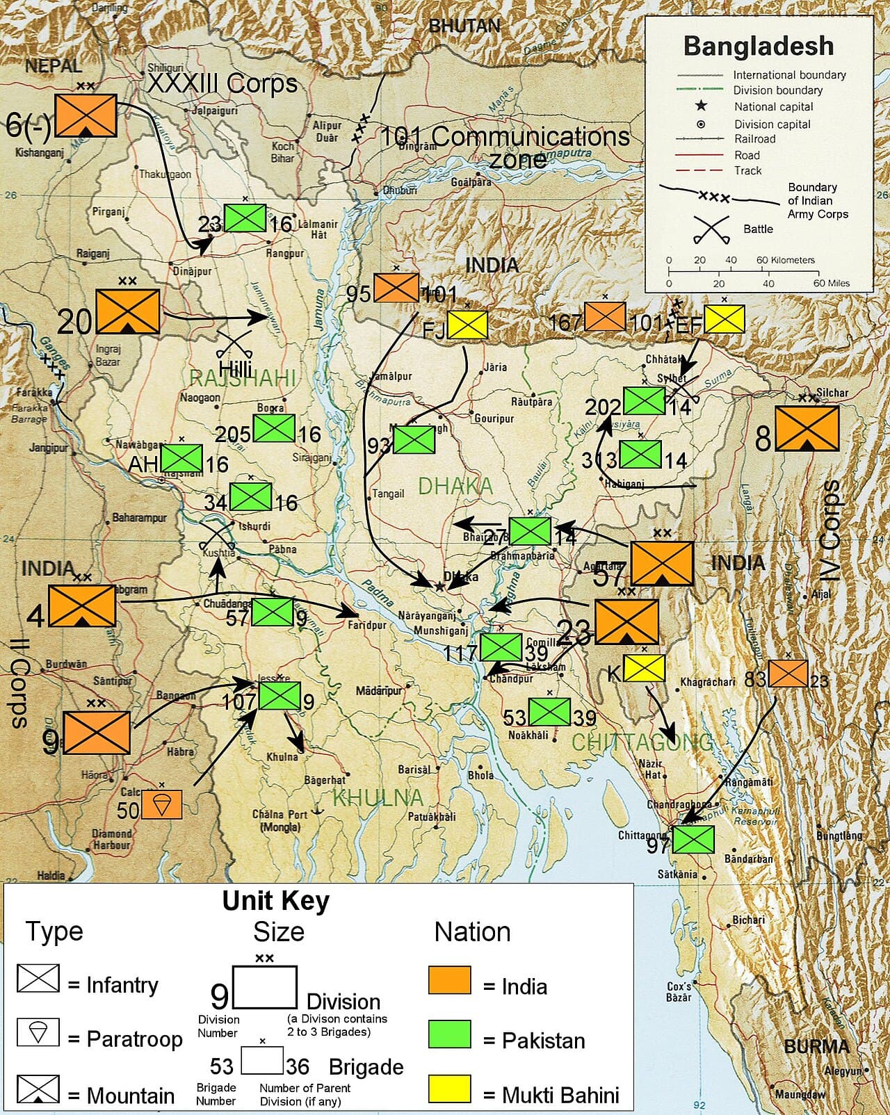
1971 Liberation War: 11 Sectors & Historic Command Map
Comprehensive cartographic chart of the 1971 Bangladesh Liberation War showing 11 operational sectors, sub-sectors, sector command HQs, and naval commando assault locations.
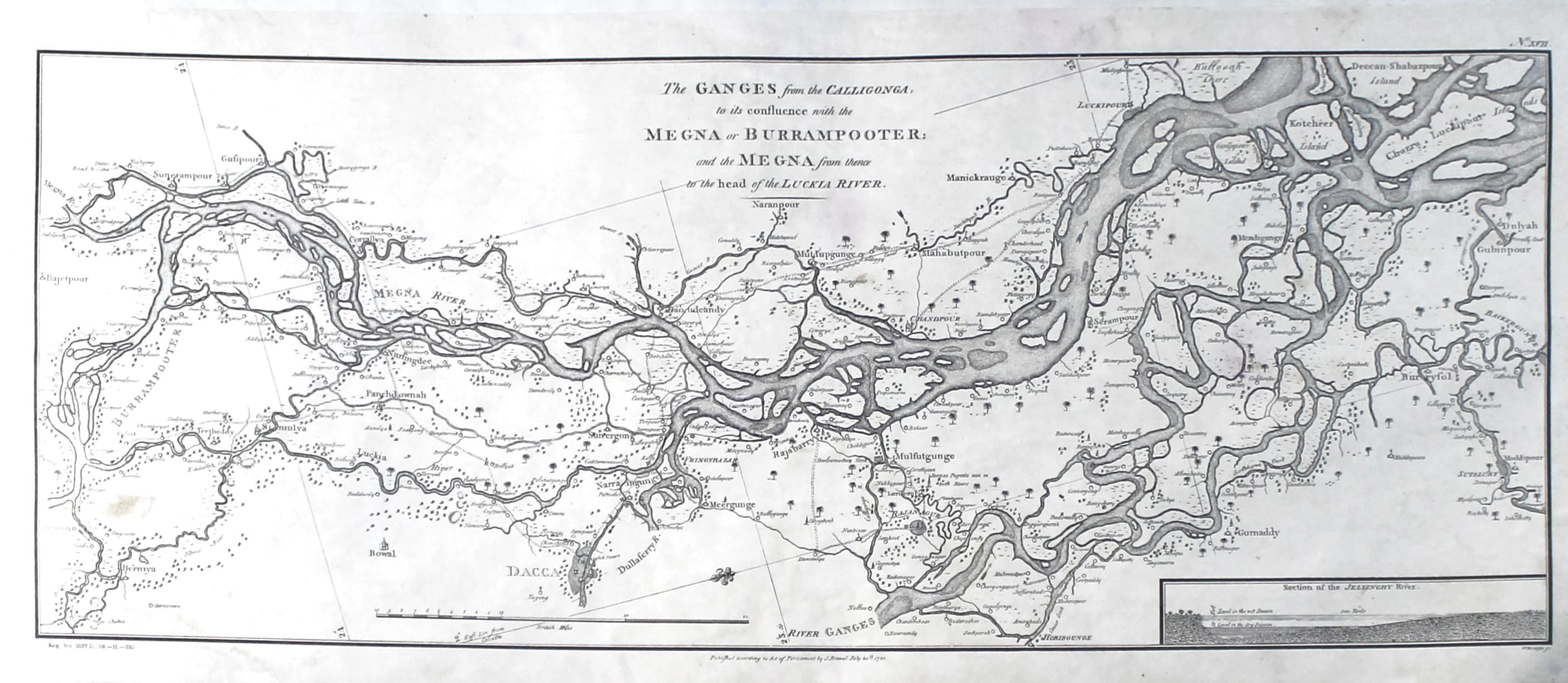
Ganges & Meghna Delta & Sundarbans Coastal Survey (1776)
Detailed coastal navigation survey of the lower Ganges, Meghna estuary and Sundarbans mangroves created by James Rennell for river trade fleets in 1776.
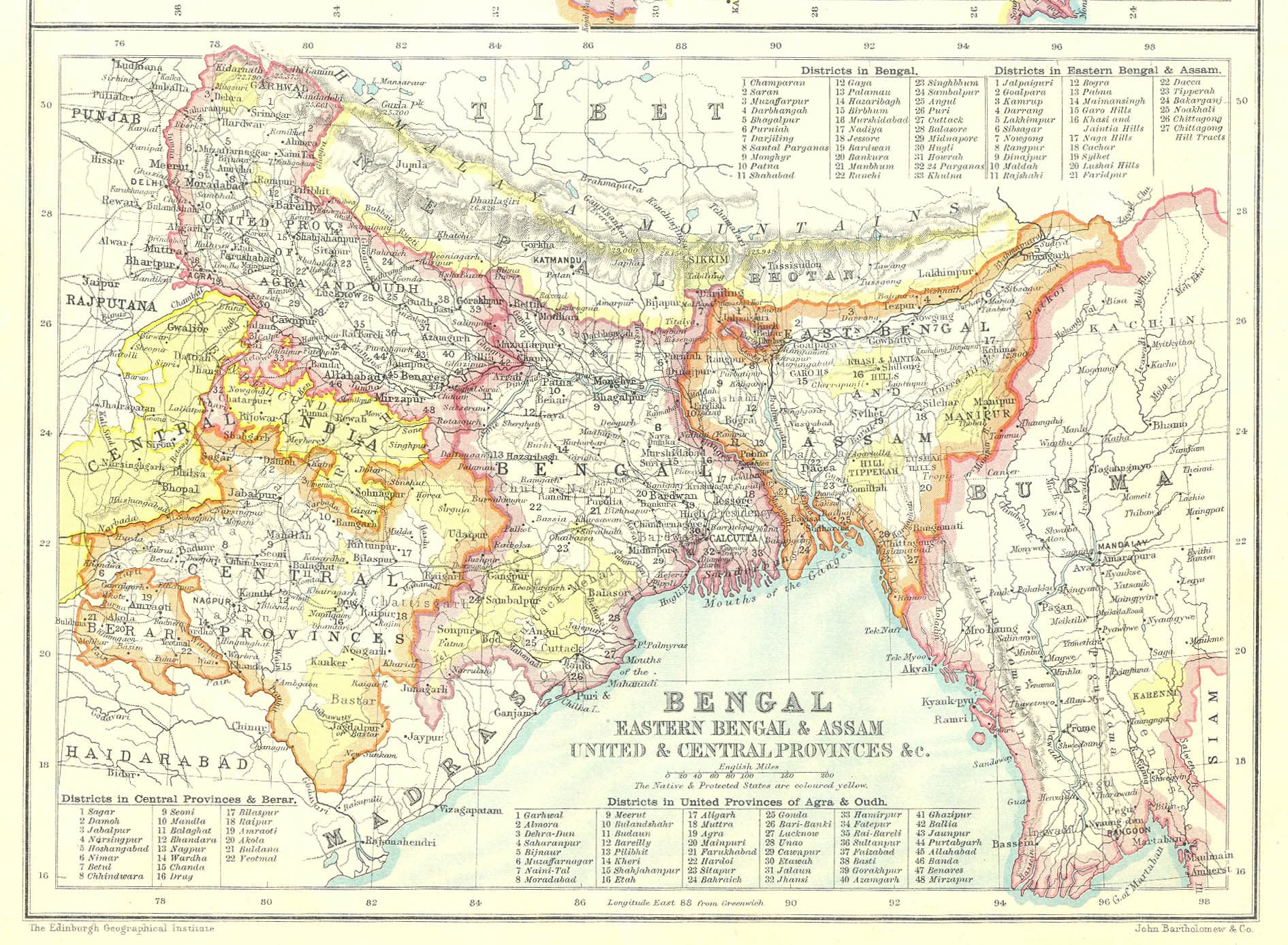
Map of Undivided Bengal & Assam Presidency (1912)
Official 1912 administrative map following the reunification of Bengal. Depicts historical district borders from Darjeeling to Chittagong and Dhaka to Calcutta.
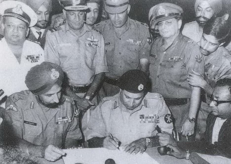
1971 Historic Instrument of Surrender (Art Paper Replica)
Museum-fidelity art print replica of the historic Instrument of Surrender signed on 16 December 1971 at Ramna Race Course by Lt. Gen. A.A.K. Niazi and Lt. Gen. Jagjit Singh Aurora.
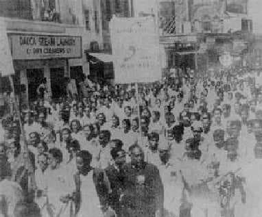
1952 Language Movement: Historic Student Rally Print
Iconic black-and-white commemorative print of the students defying Section 144 in Dhaka on 21 February 1952 to demand Bengali as a state language.

John Thornton's Sea Chart of the Bay of Bengala (1703)
A rare 1703 sea chart of the Bay of Bengal published in London by John Thornton, hydrographer to the East India Company, illustrating 18th-century nautical routes to Chittagong and Bengal ports.
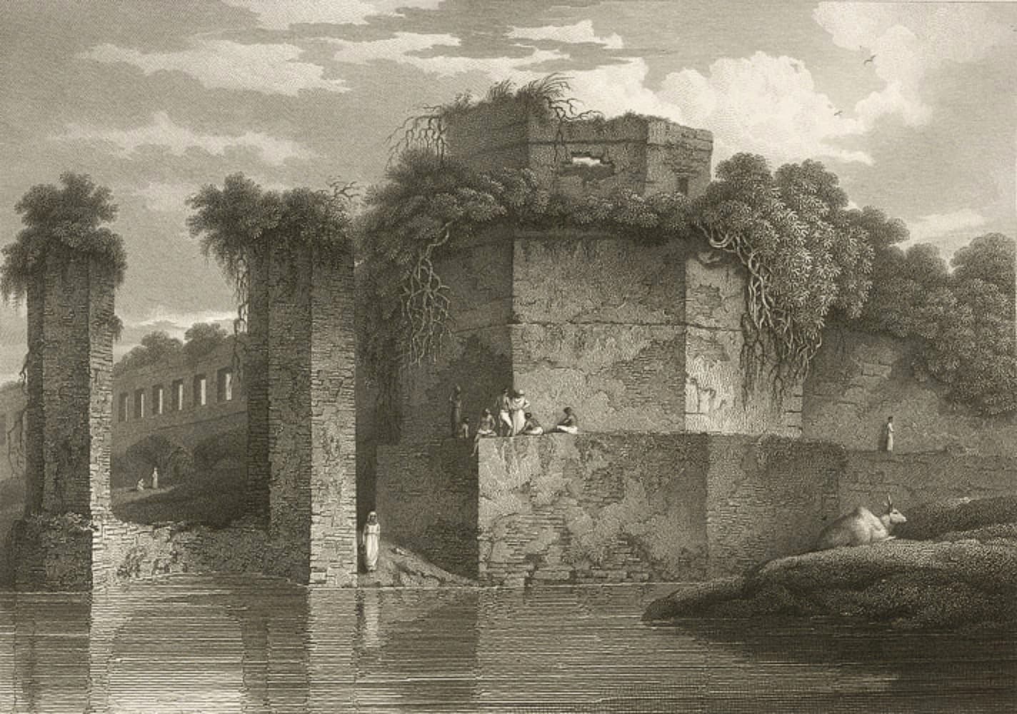
Sir Charles D'Oyly's Lalbagh Fort Bastion Etching (1816)
A pristine copperplate etching of the southern bastion of Lalbagh Fort drawn by Sir Charles D'Oyly in 1816, showing Mughal architecture along the Buriganga.
300 GSM Archival Fine Art
Museum-grade acid-free cotton paper with 50+ year fade-resistance.
Protective Tube & Delivery
Safely packed in reinforced postal cylinders across all 64 districts.
Cash on Delivery Available
Pay when your heirloom print arrives at your doorstep after phone confirmation.